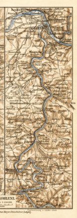
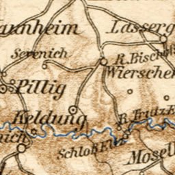
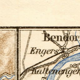
Map of the Course of the Mosel River from Zell to Trier, 1927
$0.99 USD
Old vintage map of the River Mosel shores from Koblenz to Trier from 1927, in Germany, by Bibliographisches Institut, at the scale of 1:250,000. Digitally restored. A part of the Discus Media 1900 Collection.
Please be assured that no blurring or similar image distortion will appear on your purc...
Please be assured that no blurring or similar image distortion will appear on your purc...
Geographic area:
Category:
Historical
Size:
2.68MB
Publication:
1927
Language:
German
Map bounds
Check nearby mapsWhat you get with Avenza Maps

Reliable mapping tools
Record GPS tracks, add placemarks, add photos, measure distances, and much more.

Locate yourself with GPS
Avenza Maps offline GPS app on your mobile device can locate you on any map, without WiFi or network connectivity.

The best maps by the best publishers
Download professionally curated digital maps on the Avenza Map Store from the best-renowned publishers.