Angers City Map, 1909
- City Tours
$1.99 USD
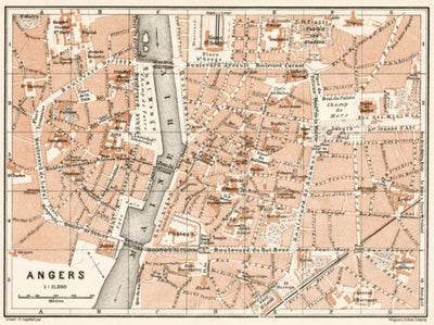
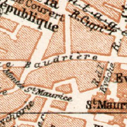
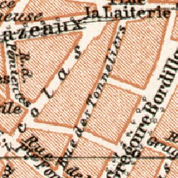
Angers city map with display of street network in detail, main tourist attractions and tramway network without route numbers. A part of the historical map collection of Discus Media Group. Originally produced by Wagner&Debes, Leipzig, Germany. Digitally restored. Scale 1:11,500.
Geographic area:
Category:
Tourist
Size:
4.79MB
Publication:
1909
Language:
French
Map bounds
Check nearby mapsWhat you get with Avenza Maps

Reliable mapping tools
Record GPS tracks, add placemarks, add photos, measure distances, and much more.

Locate yourself with GPS
Avenza Maps offline GPS app on your mobile device can locate you on any map, without WiFi or network connectivity.

The best maps by the best publishers
Download professionally curated digital maps on the Avenza Map Store from the best-renowned publishers.