Bundle
3
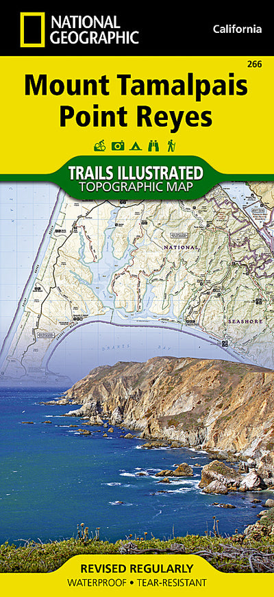
266 :: Mount Tamalpais, Point Reyes
- Camping
- Fishing
- Hiking
$11.99 USD
Marin County, just north of San Francisco, is rich is recreational opportunities as well as diverse coastal landscapes of striking beauty. National Geographic’s Trails Illustrated map of Mount Tamalpais and Point Reyes combines unmatched detail with helpful information to offer an invaluable tool...
Geographic area:
Category:
Parks & Forests
Size:
111.67MB
Publication:
2011
Language:
English
Map bounds
Maps included in this bundle
This bundle contains 3 maps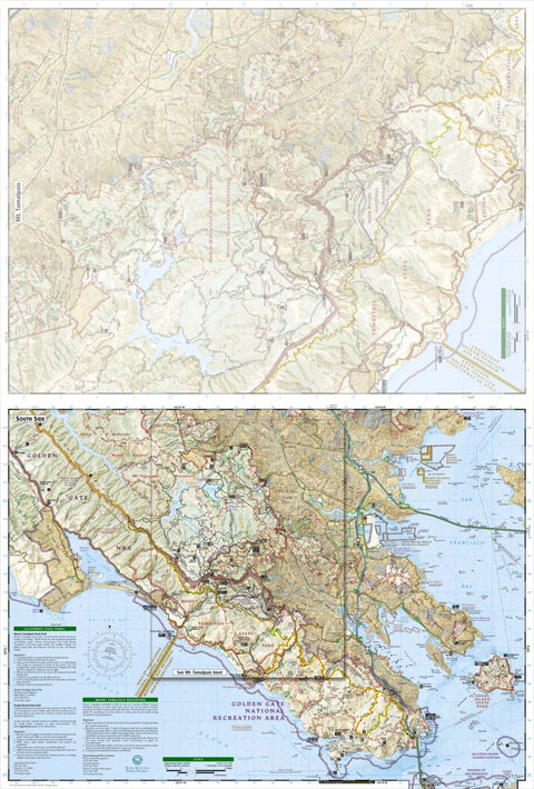
Parks & Forests
266 Mount Tamalpais, Point Reyes (south side)
National Geographic
- Camping
- Cycling
- Fishing
- Hiking
- Paddling
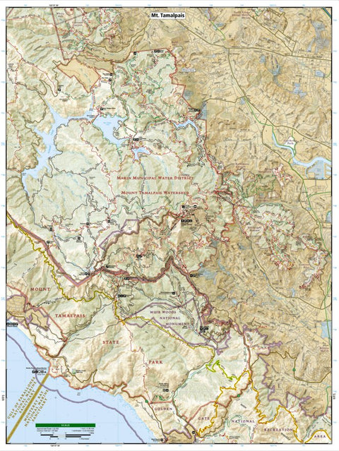
266 Mount Tamalpais, Point Reyes (inset)
National Geographic
Parks & Forests
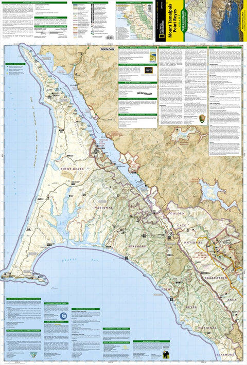
266 Mount Tamalpais, Point Reyes (north side)
National Geographic
- Camping
- Cycling
- Fishing
- Hiking
- Paddling
What you get with Avenza Maps

Reliable mapping tools
Record GPS tracks, add placemarks, add photos, measure distances, and much more.

Locate yourself with GPS
Avenza Maps offline GPS app on your mobile device can locate you on any map, without WiFi or network connectivity.

The best maps by the best publishers
Download professionally curated digital maps on the Avenza Map Store from the best-renowned publishers.