Bundle
2
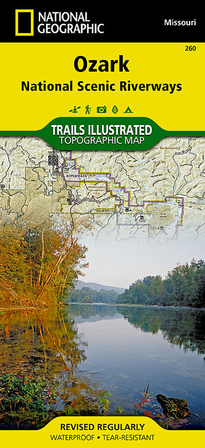
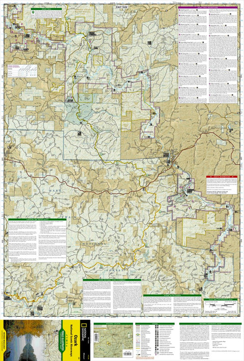
260 :: Ozark National Scenic Riverways
- Camping
- Fishing
- Hiking
- Horseback Riding
- Hunting
$11.99 USD
Explore the beauty and serenity of the Current and Jacks Fork rivers as they meander through southeastern Missouri’s Ozark Mountains with National Geographic’s Trails Illustrated map of Ozark National Scenic Riverways. Created in partnership with local land management agencies, this expertly rese...
Geographic area:
Category:
Parks & Forests
Size:
102.86MB
Publication:
2007
Language:
English
Map bounds
Maps included in this bundle
This bundle contains 2 maps
Parks & Forests
260 Ozark National Scenic Riverways (west side)
National Geographic
- Camping
- Fishing
- Hiking
- Hunting
- Off-roading
Parks & Forests
260 Ozark National Scenic Riverways (east side)
National Geographic
- Camping
- Fishing
- Hiking
- Hunting
- Off-roading
What you get with Avenza Maps

Reliable mapping tools
Record GPS tracks, add placemarks, add photos, measure distances, and much more.

Locate yourself with GPS
Avenza Maps offline GPS app on your mobile device can locate you on any map, without WiFi or network connectivity.

The best maps by the best publishers
Download professionally curated digital maps on the Avenza Map Store from the best-renowned publishers.