DNR shares tips for planning a summer camping trip in state parks, recreation areas
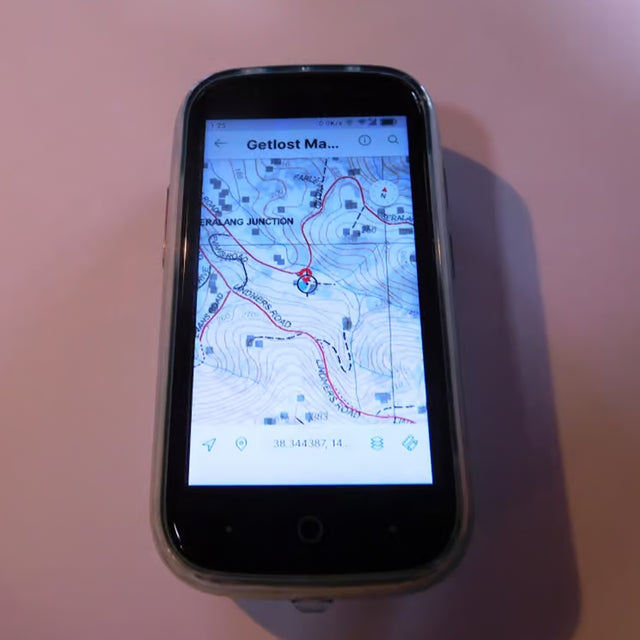
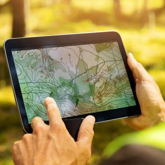
The Minnesota Department of Natural Resources is gearing up for the summer camping season by offering helpful tips for campers. The department provides an online summer activity guide, information on park events and programs, and alerts for safety and closures. They recommend using the Avenza Maps app for navigation.