

Boston To Washington Circa 1830
$4.99 USD
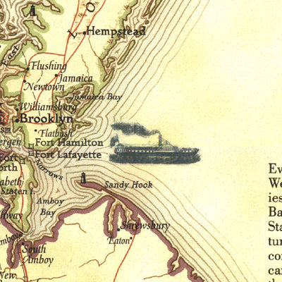
The "Boston to Washington, Circa 1830" map is a historical map based on plates drafted by Henry Schenk Tanner which covers the Atlantic Coast from Boston to Washington, D.C. Published in July 1994, this map features a variety of historical notes and illustrations. Half of a two-map set, it appear...
Geographic area:
Category:
Educational
Size:
32.39MB
Publication:
1830
Language:
English
Map bounds
Check nearby mapsWhat you get with Avenza Maps

Reliable mapping tools
Record GPS tracks, add placemarks, add photos, measure distances, and much more.

Locate yourself with GPS
Avenza Maps offline GPS app on your mobile device can locate you on any map, without WiFi or network connectivity.

The best maps by the best publishers
Download professionally curated digital maps on the Avenza Map Store from the best-renowned publishers.