Avenza Maps Pro for Firefighting & Emergency Response
How Can Avenza Maps Help You?
Emergency responders rely on precise information and accurate mapping technology to make critical decisions during their missions. Having access to this data while off the grid can lead to making faster decisions and better management while in the field. Avenza Maps Pro is a cost-effective mobile mapping app that enables teams to distribute, use and update maps more efficiently.
The flexibility of our mobile app allows you to import custom maps created by your team, group them as a collection for seamless browsing, and use them fully offline when away from network coverage. You can also create custom field collection schemas to take inventory of relevant points of interest along a route, export data, and upload it to your own network or a cloud storage solution.
Avenza Maps Pro lets you rely exclusively on GPS to precisely locate yourself and to collect points of data in the field.
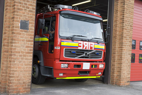
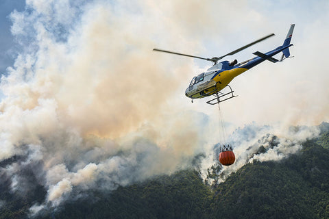
In the air over a forest fire or in an emergency response team on the ground, situational awareness and sharing the most up-to-date maps across your teams is of the highest priority. Avenza Maps Pro provides your team with a more organized and managed way to use maps on the ground and share the data needed to enable critical decision-making.
What We Offer

Work without a connection

Locate yourself and collect data
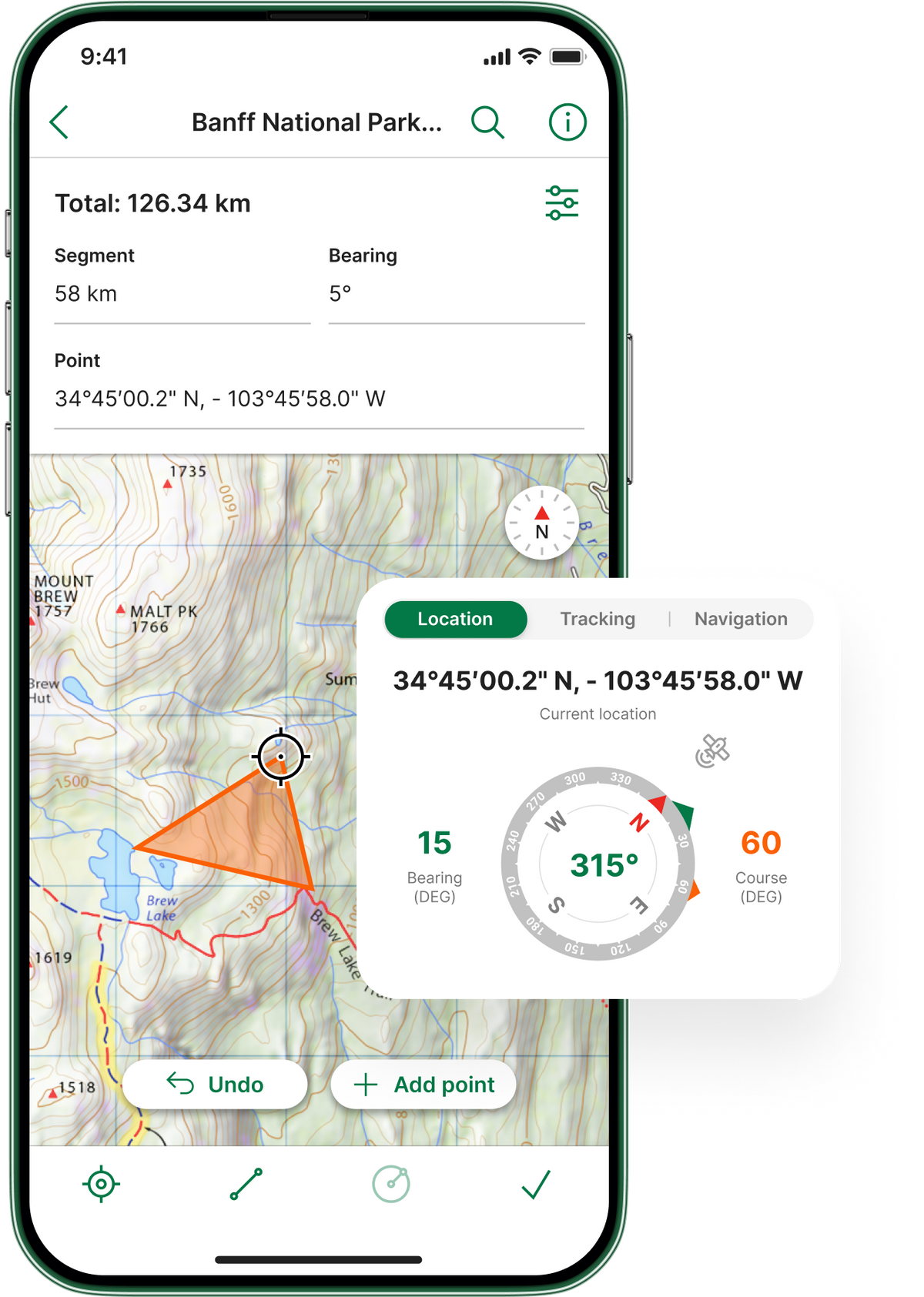

Import custom maps

Shapefile and area support
Work without a connection
Import custom maps
Locate yourself and collect data
Shapefile and area support
Case Study Insights
Wildland Fire’s Air Tactical Team

United States Forest Service