Bundle
2
1
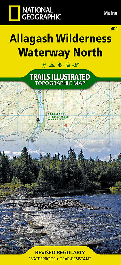
400 :: Allagash Wilderness Waterway North
- Camping
- Fishing
- Hiking
- Paddling
$11.99 USD
The Allagash Wilderness Waterway is a majestic 92-mile-long ribbon of rivers, lakes, ponds, and streams that winds its way through the heart of the North Maine Woods. National Geographic’s Trails Illustrated map of Allagash Wilderness Waterway North is designed to meet the needs of outdoor enthus...
Geographic area:
Category:
Parks & Forests
Size:
99.33MB
Publication:
2011
Language:
English
Map bounds
Maps included in this bundle
This bundle contains 2 maps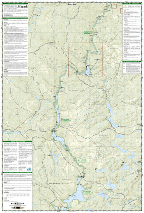
Parks & Forests
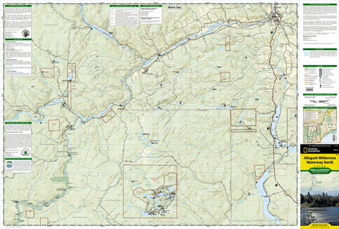
400 Allagash Wilderness Waterway North (Back)
National Geographic
- Camping
- Fishing
- Hiking
- Off-roading
- Paddling
Parks & Forests
400 Allagash Wilderness Waterway North (Front)
National Geographic
- Camping
- Fishing
- Hiking
- Off-roading
- Paddling
Customer Reviews
3.0 Based on 1 Reviews
Write a Review Ask a Question - Reviews
- Questions
Filter Reviews:
C
08/02/2021
Customer
Presque Isle, Maine, United States
Not Current
Does not have current hiking trails for at least the Deboullie Mountain area. Unsure of other areas.
What you get with Avenza Maps

Reliable mapping tools
Record GPS tracks, add placemarks, add photos, measure distances, and much more.

Locate yourself with GPS
Avenza Maps offline GPS app on your mobile device can locate you on any map, without WiFi or network connectivity.

The best maps by the best publishers
Download professionally curated digital maps on the Avenza Map Store from the best-renowned publishers.